My Store
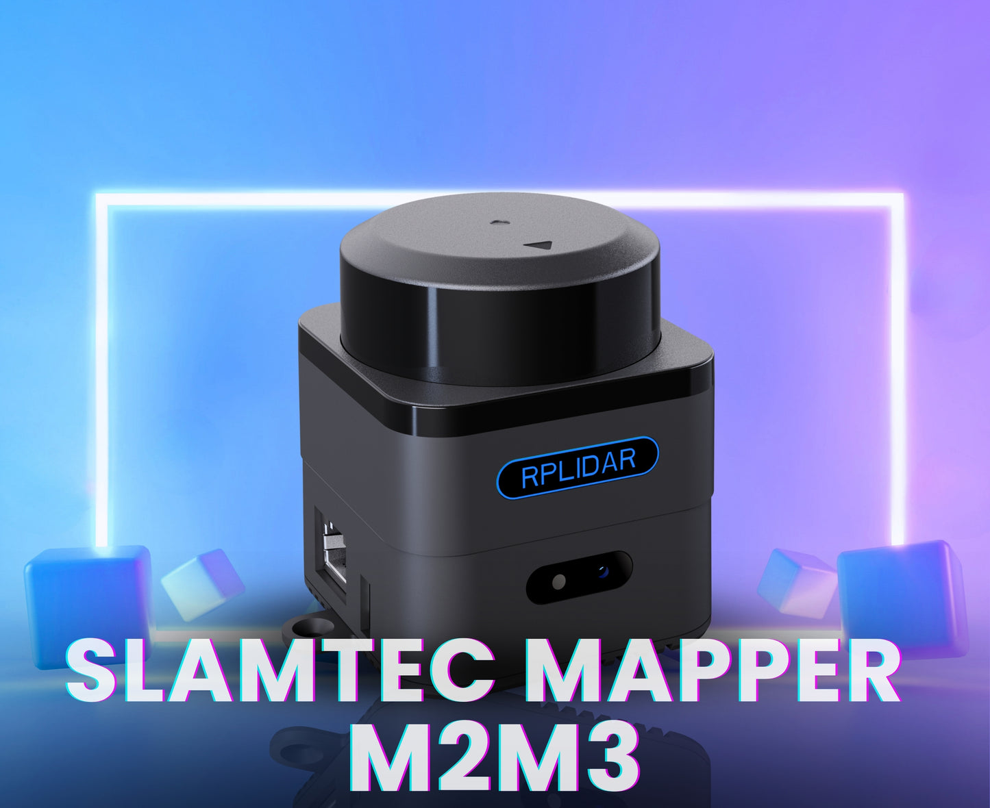
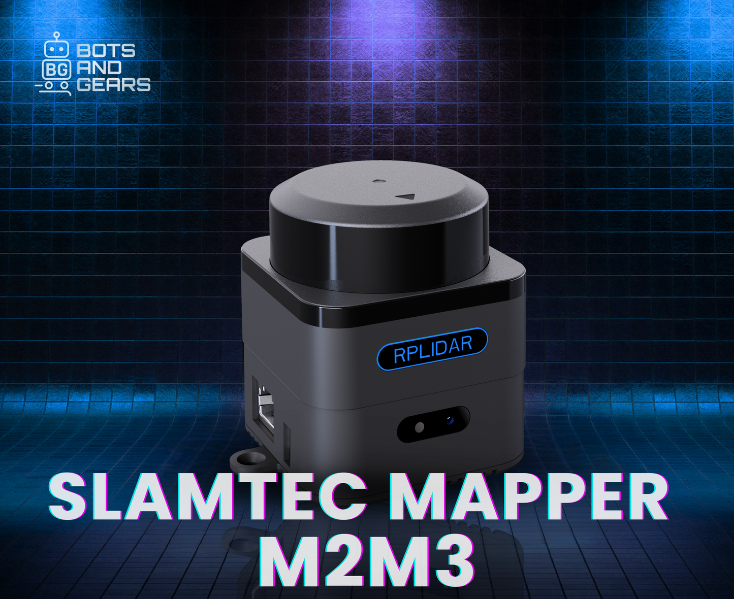
Mapper M2M3
Mapper M2M3
Couldn't load pickup availability
Product Description
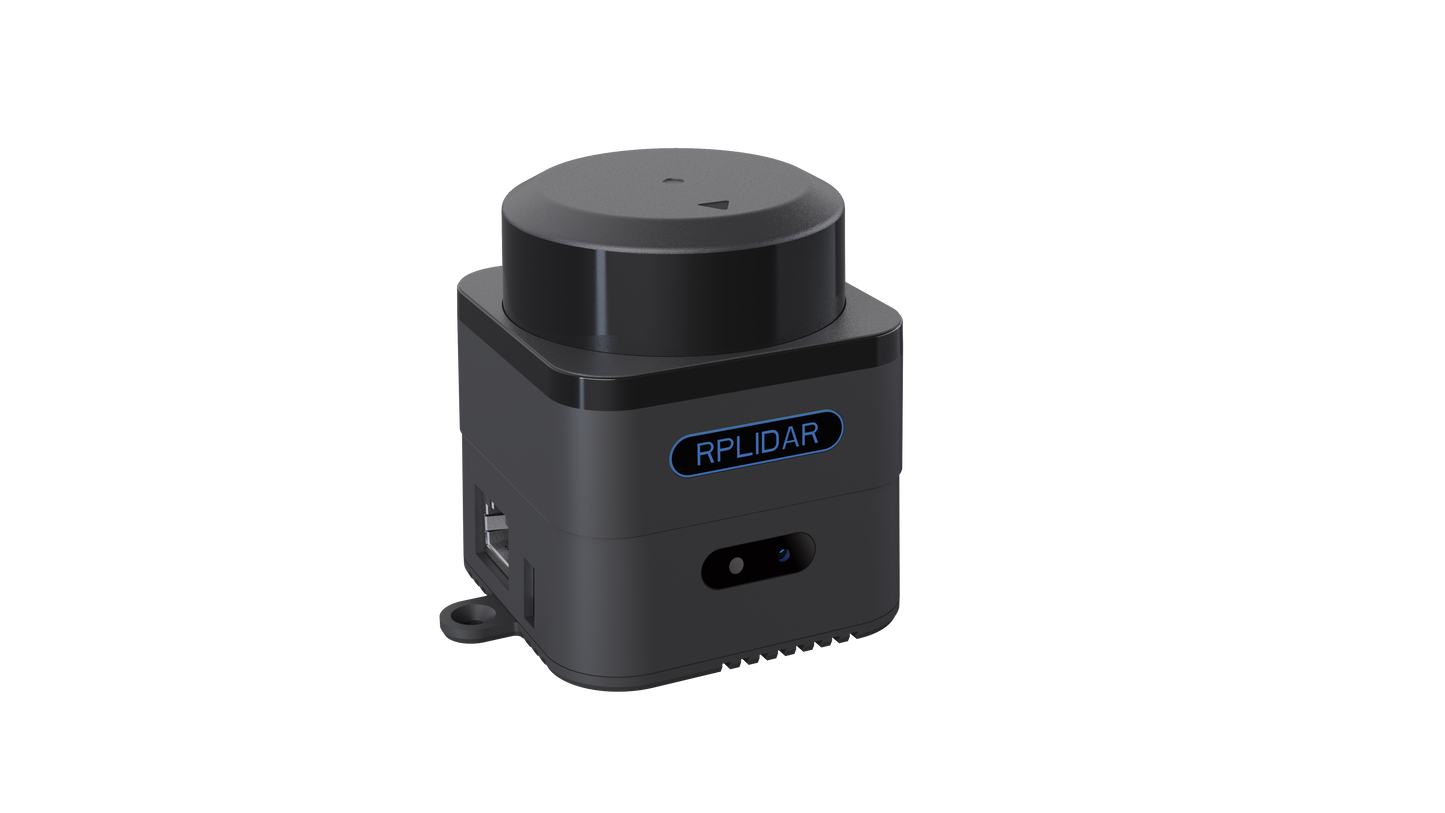
The Mapper M2M3 is an advanced laser sensor that surpasses traditional LiDAR by incorporating built-in SLAM (Simultaneous Localization and Mapping) capabilities. It is ideal for applications such as robot navigation, environmental mapping, and handheld measurements. Powered by a high-performance SLAM engine and SharpEdge™ fine mapping technology, it supports loop closure detection and correction, enabling high-precision mapping across areas up to 100,000 square meters. Equipped with a built-in 9-DOF inertial navigation system, the SLAMTEC Mapper maintains accuracy even in fluctuating or inclined environments. It operates independently without requiring additional sensors or external data inputs.
The Mapper Kit includes both LiDAR sensors and data processing units. It supports simple plug-and-play operation—users only need to connect a 5V DC power supply. Communication with the device can be easily established via Ethernet or WiFi. Real-time map and pose data can be accessed wirelessly, or through a stable and high-speed wired connection. The kit is designed for flexibility, supporting DC power input through a standard DC socket. When used with mobile devices such as smartphones, it enables a fully integrated and portable mapping solution. For optimal performance, the external power supply must meet specific current output and ripple standards.
Mapper also provides a complete SDK, PC and mobile evaluation tools, and full compatibility with ROS, allowing seamless integration into existing systems. Additionally, it can function purely as a LiDAR sensor, offering versatility for both development and deployment.
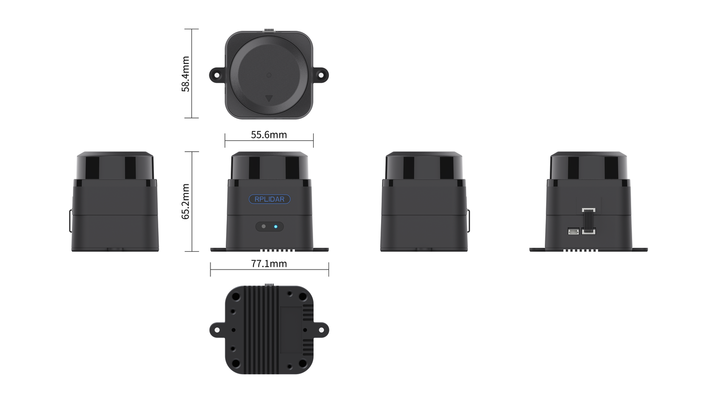
Specification
|
Item |
Parameter |
Details |
|
1. Distance Range |
Max. Lidar Distance |
40 m |
|
Lidar Sample Rate |
10,000 Hz |
|
|
2. Mapping Capability |
Max. Mapping Area |
300 m × 300 m |
|
Mapping Resolution |
0.05 m |
|
|
3. Mobility |
Max. Linear Speed |
2 m/s |
|
Max. Rotational Speed |
TBD |
|
|
4. Accuracy |
Mapping Accuracy |
< 0.02 m |
|
5. Graph Optimization |
Working Time |
~1 hour |
|
6. Inclination |
Max. Inclination Angle |
±3° |
|
7. Data Update Rate |
Refresh Frequency |
10 Hz |
Application
Mapper can be used in the following application scenarios
· General robot navigation and localization
· Environment mapping
· Architectural engineering
Component Included
· 1 x Mapper M2M3 - LiDAR Mapping Sensor
· 1 x 5V Power Cable
Share