My Store
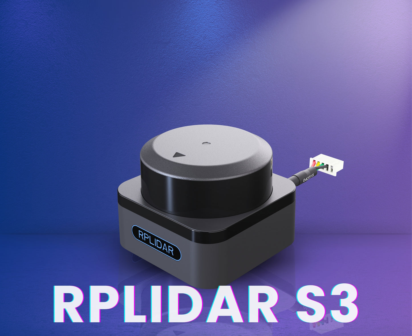
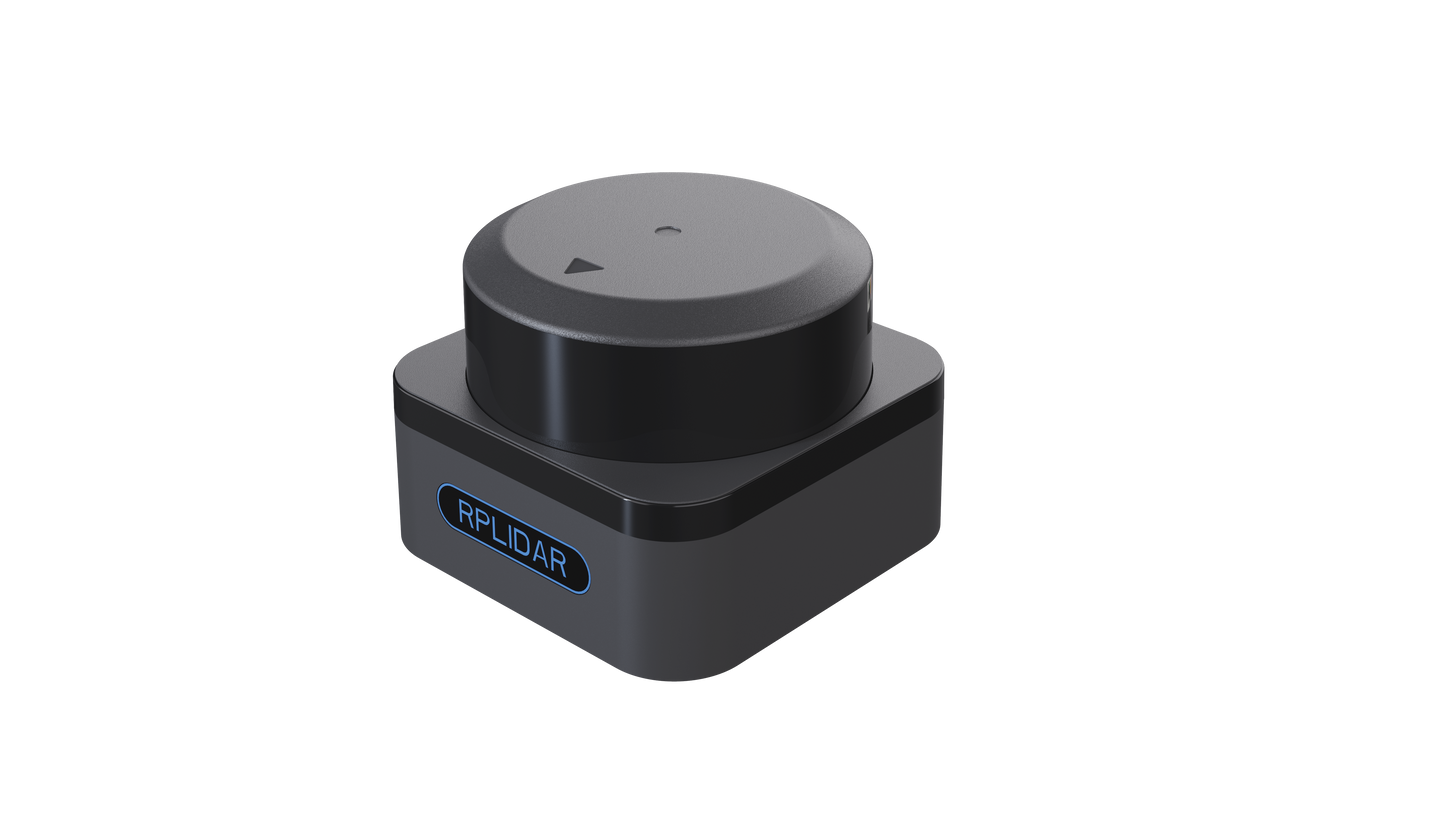
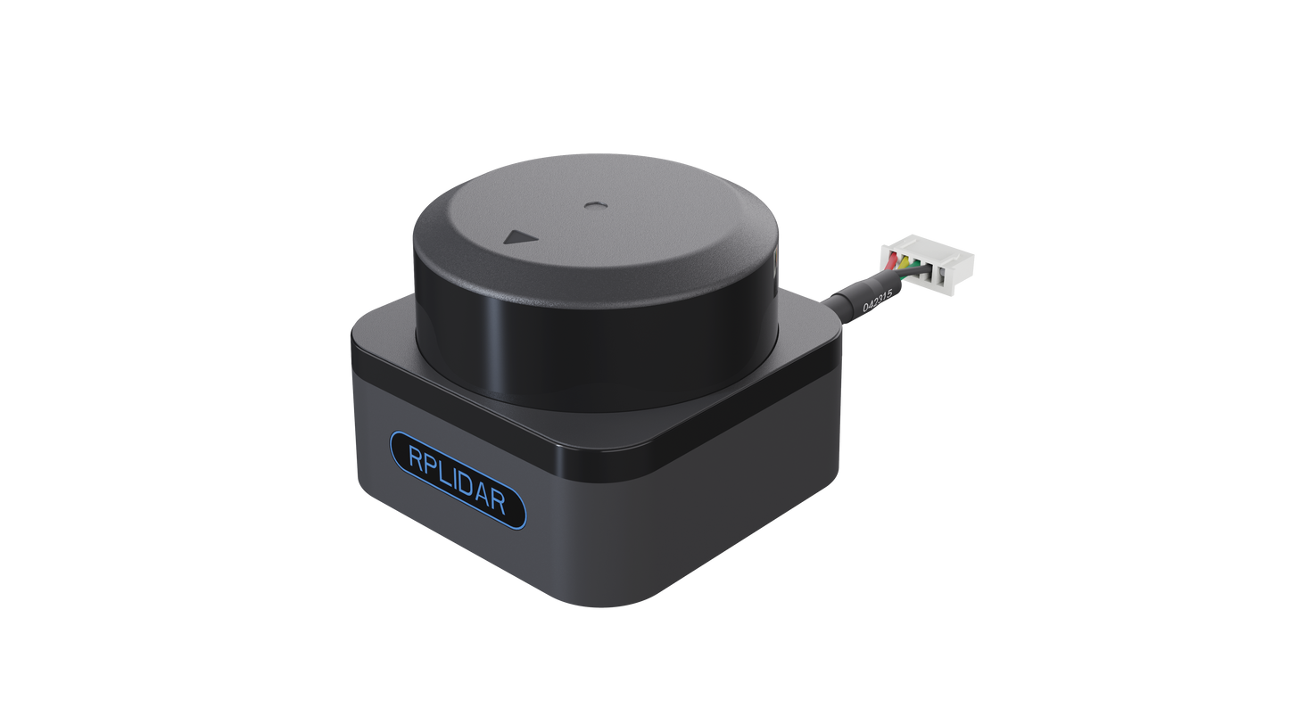
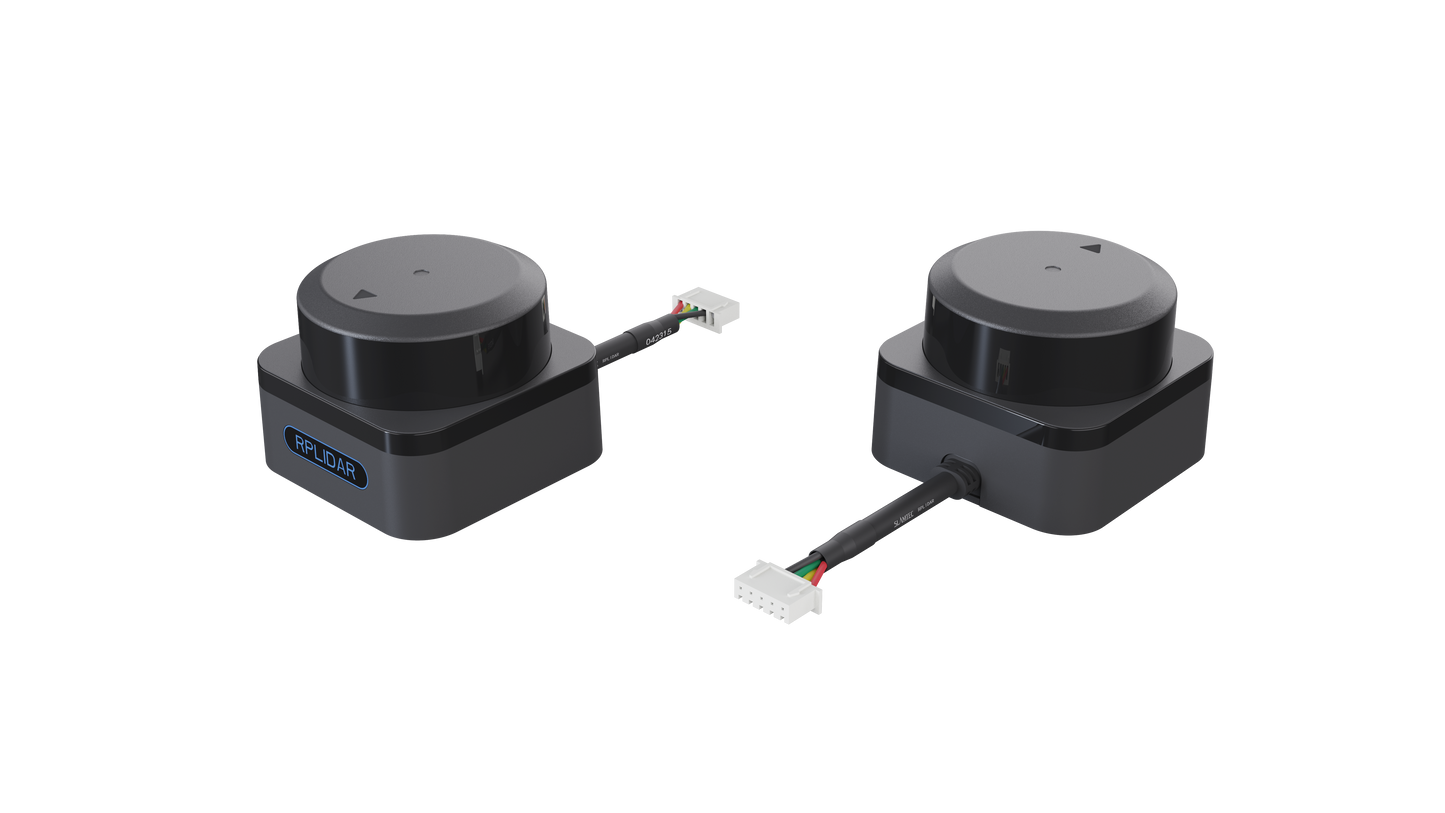
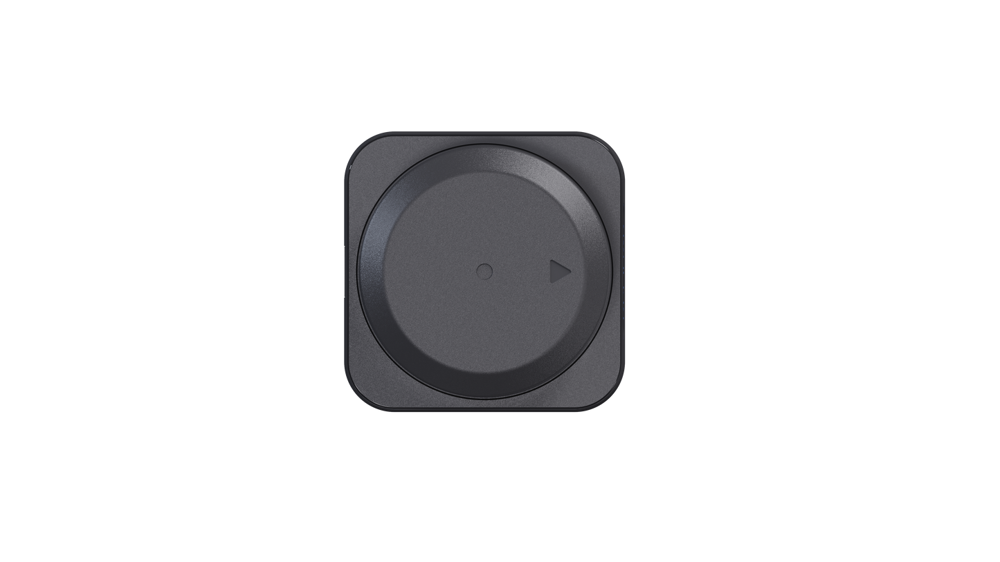
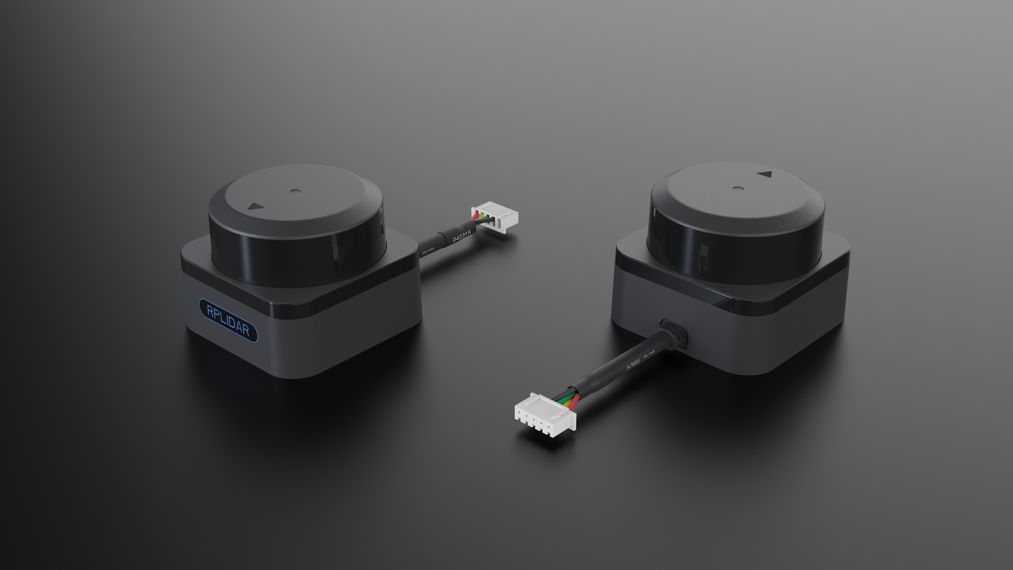
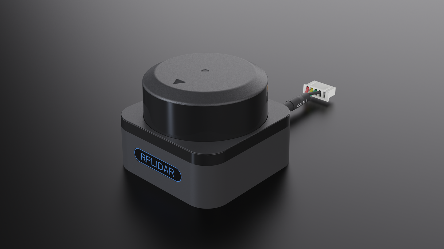
RPLIDAR S3
RPLIDAR S3
Couldn't load pickup availability
Product Description
The RPLIDAR S3 is a next-generation lightweight and compact 2D LIDAR scanner designed for high-performance applications in both indoor and outdoor environments. With a 360° scanning capability and a maximum range of 40 meters, it delivers precise and reliable mapping even in challenging conditions.
Equipped with a high-speed sampling rate of 32,000 times per second and an angular resolution of up to 0.1125°, the S3 ensures superior fine object detection, making it ideal for detailed target recognition and real-time environment perception.
Thanks to its advanced hardware design, the RPLIDAR S3 boasts exceptional resistance to ambient light interference (up to 80,000 Lux), maintaining accuracy even under strong indoor lighting or direct sunlight. It performs reliably on low-reflectivity surfaces—such as black or anti-reflective objects—accurately measuring distances up to 15 meters with just 10% reflectivity.
Additional features like adaptive rotation speed detection and seamless integration with the SLAMTEC ecosystem further enhance its versatility, making it a powerful tool for applications in robotics, mapping, and intelligent navigation systems.
Specification
|
Specification |
Details |
|
Dimensions (L × W × H) |
59.8 × 55.6 × 41.3 mm |
|
Weight |
115 g |
|
Accuracy |
±30 mm |
|
Resolution |
10 mm |
|
Sample Rate |
32 kHz |
|
Working Wavelength |
895 – 915 nm |
|
Laser Power |
25 W |
|
Pulse Length |
5 ns |
|
Scanning Frequency |
Typical: 10 Hz |
|
Angular Resolution |
Typical: 0.1125° |
|
Communication Interface |
TTL, UART |
|
Communication Speed |
1 Mbps |
|
Scan Field Flatness |
0° – 1.5° (customizable for other angles) |
|
Distance Range |
- White object (70% reflectivity): 0.05 – 40 m |
|
Operating Temperature |
-10°C to 50°C |
|
Storage Temperature |
-20°C to 60°C |
|
Laser Safety Class |
Class 1 |
|
Application Scenarios |
Suitable for both indoor and outdoor use with strong daylight resistance (≥80 Klux) |
Applications
- Robot navigation and obstacle avoidance
- Obstacle detection and avoidance for AGVs (Automated Guided Vehicles)
- UAV (Unmanned Aerial Vehicle) mapping and obstacle avoidance
- Parking lot monitoring and management
- Environmental perception and autonomous navigation for low-speed unmanned vehicles
- Multi-point touch interaction and human-machine interface applications
- ROS-based trolleys or educational robots for mapping and obstacle avoidance
- Environmental scanning and 3D reconstruction
Component Included
- 1x RPLIDAR S3 360° Laser Scanner (Range: up to 40 meters)
Share